|
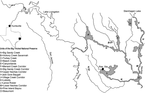
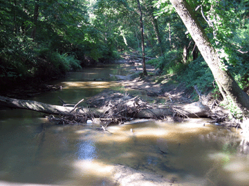
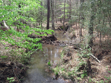
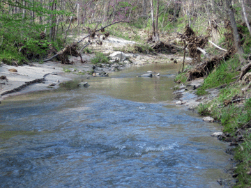
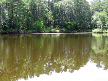
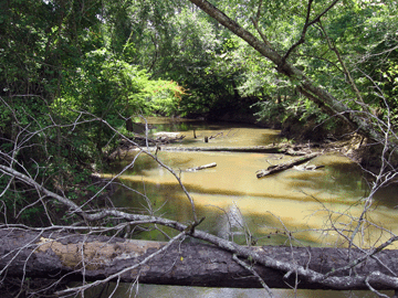
Below is a general map of the Big Thicket National Preserve, with units indicated. Below that are maps of the individual units of the BTNP, indicating sites where collection has occurred (solid circle with red codes corresponding to site codes in other databases that can be downloaded from this website). Some sites, especially those outside the BTNP, are not shown in these maps, but GPS locality data are available elsewhere on this website. At the bottom are some pictures of collection sites themselves.
|